
Reference / Pedestrian flow analysis
Wiener Linien
Pedestrian flow analyses and escape route signage design for existing Wiener Linien stations.
Task and methodology
The work included site surveys, 3D models, different scenarios and the analysis of evacuation times, congestion and pedestrian densities. The results provided the basis for the escape route signage design.
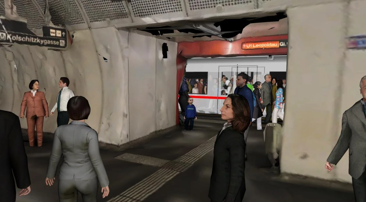
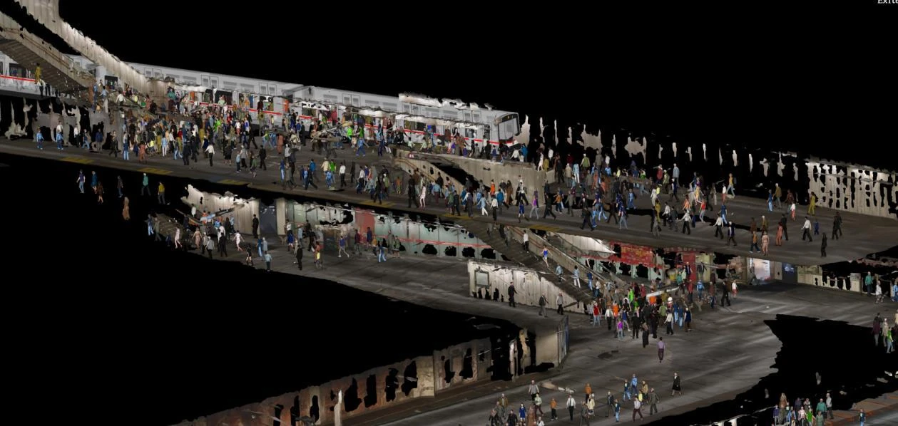
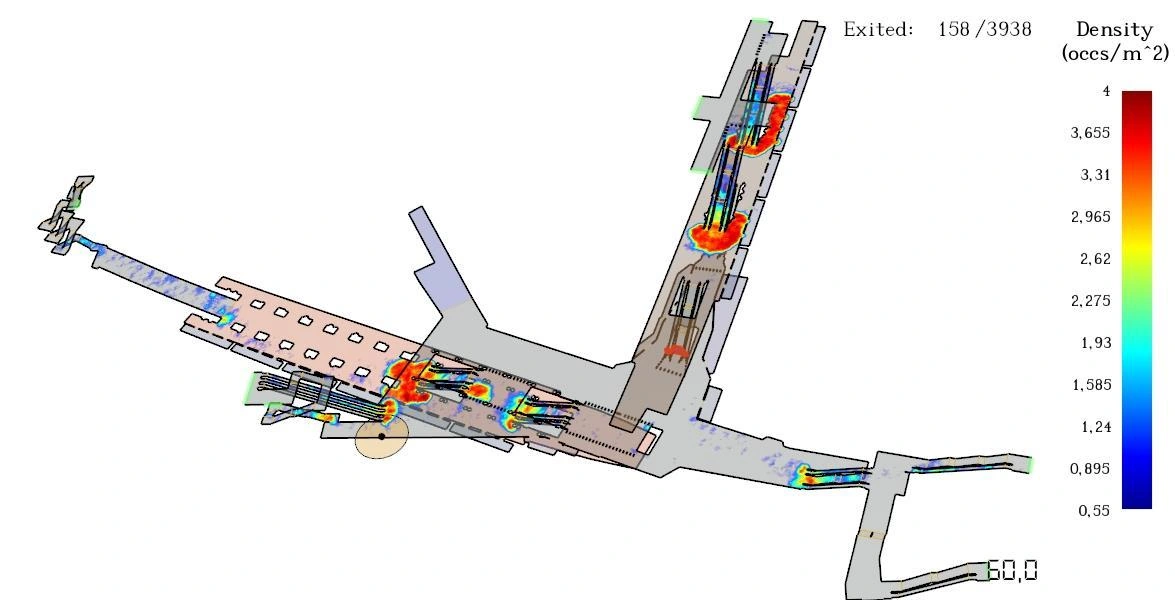
Documented project scope
The project followed an authority requirement to retrofit standards-compliant escape route wayfinding signage in existing underground stations. Pedestrian simulations were carried out for 14 major interchange stations to align the signage design with the expected pedestrian flows.
Signage was designed for a further 57 smaller underground and underground tram stations (USTRAB) without pedestrian simulation.